Sherif Khairy
Estimating your commute time in Egypt has always been an impossible mission. It requires in-depth knowledge of rush hours, and an intricate awareness of all the shortcuts, just to be able to predict how long it will take you from point A to point B. All these skills went redundant when Google Maps launched its traffic feature in Egypt, and you could easily predict the time and know the route of your next commute with ease. And now, Google Maps is looking to take things to the next level.
If you’ve used Google Maps abroad, you’ll know that the traffic feature includes public transportation. Once you click on the Transit icon, it gives you information on which buses or metro stations to take to reach your destination. It also gives you an estimated range of when these public transportations will arrive at each stop, and how long your commute will take.
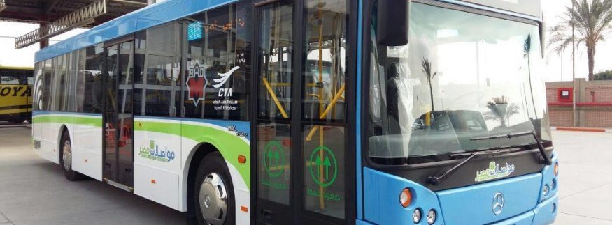
This is about to be implemented in Egypt. Sherif El-Fakharny, Project Manager at Mwasalat Misr, stated that the company is currently in negotiations with Google Maps to add the bus routes of the company to the Google Maps application. This new service will allow users to see the arrival time of each bus at the stations, how long the bus will wait, and the time it will take to get from point A to point B. This has been confirmed by Dr. Hesham Taha, Executive Director of Mwasalat Misr Company, who stated that the aim is to improve the public transportation service in Egypt, and that Cairo will be the first city in Africa and the Middle East to implement such a service.
Once you open Google Maps, you should find a new icon with the logo of Mwasalat Misr, which will show you the routes of all these buses. Please note that this is applicable only for the buses of Mwasalat Misr Company. The tickets of such vehicles vary from 5 EGP to 15 EGP, and some of them are equipped with free internet and air-conditioning.
This is not the only step forward; the company is set to launch a smart card, Mowaslaty, which will be a comprehensive card linking all public transportation as well as the metro stations. This will come as a step towards establishing a full map of the routes of public buses, together with the network of metro stations.
recommended
 Cafés
Cafés
Bite Into the Croffle Craze: The Best 5 Spots to Try Croffles in Cairo
cafes cairo +2 City Life


